
X-BAND WAVE RADAR · COASTAL MONITORING
Real-time maps of waves, currents and bathymetry from a single radar on shore
Our systems cover up to 4 km offshore and deliver results within five minutes of each collection. They cost a fraction of what traditional sensors do.
Coverage area
Up to 30 km²
Collection to results
Under 5 min
Gear in the water
None
IN USE WITH
University of New England · University of Central Florida · Coastal Measures
WHAT IT MEASURES
Waves, currents and the seabed in one view
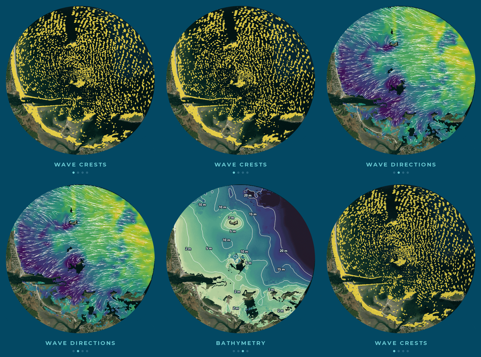
Each system turns X-band radar images of the sea surface into maps of the whole coverage area.
Waves
Height, period and direction across the full field of view
Currents
Surface current speed and direction, including rip currents
Bathymetry
Nearshore seabed depth and shoal positions, tracked over time so you can see sandbars and shoals move
WHO IT IS FOR
Built for places where conditions turn hazardous
Our clients need measurements at their own site, at the moment waves and currents become dangerous.
Coastal engineering
See how waves, currents and shoals respond to jetties, inlets and channels
Beach safety
Spot rip currents and dangerous waves as they develop
Research and coastal observing networks
Add a continuous map of the nearshore alongside buoys, gauges and surveys
Wildlife and conservation
Field trials with the University of Central Florida are testing radar detection of nesting sea turtles
HOW IT WORKS
From install to data in three steps
STEP 01
Install it your way
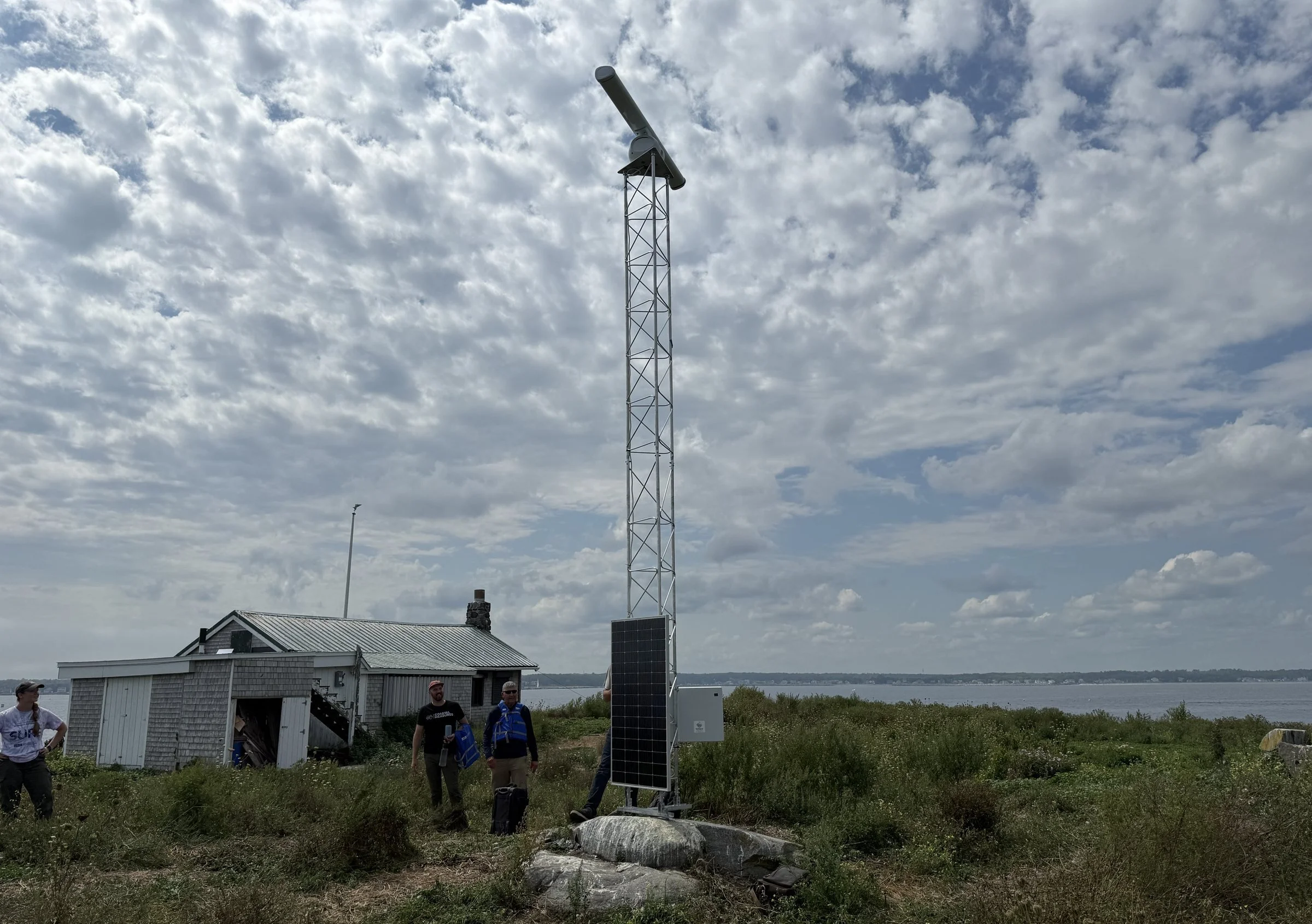
A compact, weatherproof wave radar mounts on a tower or existing structure at your site. Your team can install it, or ours can do it for you.
STEP 02
It runs on its own
The system collects on a set schedule, uploads automatically, and needs minimal maintenance. Solar power and cellular data let it run without grid power or internet. Where cellular service isn’t viable, Starlink satellite internet is an option.
STEP 03
You get results in minutes
Results reach you within five minutes of each collection. Our partner Coastal Measures hosts the data on its CUMULUS cloud platform.
Ways to work with us
OWN IT
Buy a system
Own the hardware outright.
SUBSCRIBE
Lease the data
We operate the hardware and you receive the results.
IN THE FIELD
In use from Maine to Florida
Our buoys and gauges measure conditions at single points, but the wave radar shows us the whole picture at once.
Will Kochtitzky, Ph.D. · University of New England
Read the University of New England story
Saco Bay, Maine
Plymouth, Massachusetts
Florida Atlantic coast
Founded by a coastal oceanographer and a hydraulic engineer with decades of combined field experience. Meet the team →
Tell us about your site
Send us the location and what you need to measure. We will tell you what a system can see from there and what installation would take.